
Site Information for Aston Hill(UKA00137)
Aston Hill Information
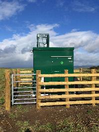
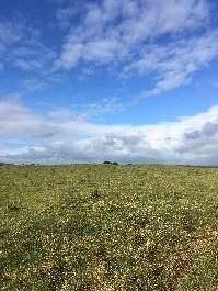
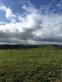
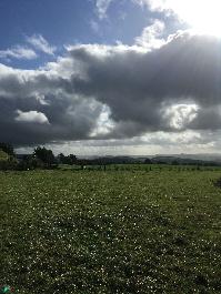
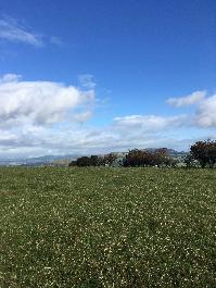
The monitoring station is within a self-contained, air conditioned housing located in a field on the Welsh-English border. The nearest road is an access-only road for nearby farm buildings and is approximately 400 metres from the monitoring station. The surrounding area is rural and generally open with the nearest trees approximately 50 metres distance from the station.
UK-AIR ID: UKA00137
EU Site ID: GB0031R
Altitude (metres): 370
Environment Type: Rural Background
Site Location
Environment Type: Rural Background
Site Address: Aston Hill
Government Region: North Wales
Easting/Northing: 329899, 290053
Latitude/Longitude: 52.503850, -3.034178
The static map below shows where the monitoring site is located.
» View this location on Google Maps (new window)
» View this monitoring site on the interactive monitoring networks map
Partners
The Partners who operate networks at this monitoring sites are shown in the table below. Clicking on the Partner name will open their website in a new window.
| Operator | Networks |
|---|---|
| Bureau Veritas | Automatic Rural Monitoring Network |
Pollutants measured at this monitoring site
The pollutants measured at this monitoring site, grouped by network, are shown below.
Automatic Rural Monitoring Network
| Pollutant | Start Date | End Date | Inlet Height (m) | Hourly PM Measurement method |
|---|---|---|---|---|
| Ozone | 26/06/1986 | - | 3.9 | |
| Nitric oxide | 21/10/2003 | - | 3.9 | |
| Nitrogen dioxide | 21/10/2003 | - | 3.9 | |
| Nitrogen oxides as nitrogen dioxide | 21/10/2003 | - | 3.9 | |
| Modelled Wind Direction | 01/08/2010 | - | 10 | |
| Modelled Wind Speed | 01/08/2010 | - | 10 | |
| Modelled Temperature | 01/08/2010 | - | 2 |
Networks measured at this monitoring site
The listing below shows the networks that this monitoring site belongs to. You can search for sites within these networks by clicking on their name, or use the network information links to find out more about them.
| Network | Search | Further Details | Get Data |
|---|---|---|---|
| Automatic Urban and Rural Monitoring Network (AURN) | Automatic Urban and Rural Monitoring Network (AURN) | About network | Latest pollution summary Current Levels Pre-Formatted Data Files |