
Site Information for Tameside A635 Manchester Road(UKA01099)
Tameside A635 Manchester Road Information
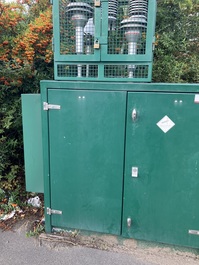
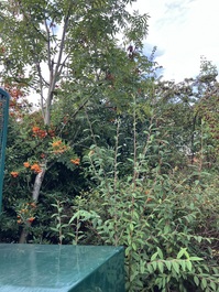
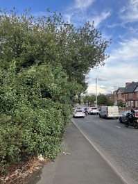
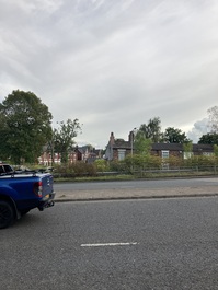
Roadside site beside the A635 through Ashton-under-Lyne, Tameside, to the east of the city of Manchester.
UK-AIR ID: UKA01099
EU Site ID: GB1541A
Altitude (metres): 100
Environment Type: Urban Traffic
Site Location
Environment Type: Urban Traffic
Site Address: Manchester Road Ashton-under-Lyne OL7 0EN
Government Region: North West & Merseyside
Easting/Northing: 392538, 398419
Latitude/Longitude: 53.482437, -2.113912

The static map below shows where the monitoring site is located.
» View this location on Google Maps (new window)
» View this monitoring site on the interactive monitoring networks map
Partners
The Partners who operate networks at this monitoring sites are shown in the table below. Clicking on the Partner name will open their website in a new window.
| Operator | Networks |
|---|---|
| Bureau Veritas | Automatic Urban Monitoring Network |
Pollutants measured at this monitoring site
The pollutants measured at this monitoring site, grouped by network, are shown below.
Automatic Urban Monitoring Network
| Pollutant | Start Date | End Date | Inlet Height (m) | Hourly PM Measurement method |
|---|---|---|---|---|
| PM2.5 particulate matter (Hourly measured) | 01/04/2025 | - | 2.1 | BAM |
| Modelled Wind Direction | 01/04/2025 | - | 10 | |
| Modelled Wind Speed | 01/04/2025 | - | 10 | |
| Modelled Temperature | 01/04/2025 | - | 2 |
Networks measured at this monitoring site
The listing below shows the networks that this monitoring site belongs to. You can search for sites within these networks by clicking on their name, or use the network information links to find out more about them.
| Network | Search | Further Details | Get Data |
|---|---|---|---|
| Automatic Urban and Rural Monitoring Network (AURN) | Automatic Urban and Rural Monitoring Network (AURN) | About network | Latest pollution summary Current Levels Pre-Formatted Data Files |