
Site Information for Tallington(UKA01038)
Tallington Information
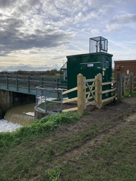
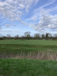
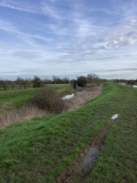
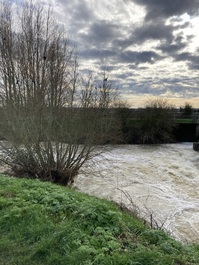
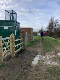
This is a rural monitoring station, located at a river gauging station beside the River Welland near the village of Tallington, Lincolnshire. Surroundings are mostly farm land.
UK-AIR ID: UKA01038
EU Site ID: GB1480A
Altitude (metres): 17
Environment Type: Rural Background
PM2.5 Targets This site is used in the assessment of the Annual Mean Concentration Target (AMCT) under the Environmental Target (Fine Particulate Matter) (England) Regulations 2023, subject to meeting the inclusion criteria on an annual basis. It is not used in the assessment of the Population Exposure Reduction Target (PERT). To find out more about how measurements are used to calculate progress towards the targets and which sites have met the inclusion criteria in different years, please see the PM2.5 target calculation page.
Site Location
Environment Type: Rural Background
Site Address: Off Tallington Road Tallington PE9 4RR
Government Region: East Midlands
Easting/Northing: 509609, 307739
Latitude/Longitude: 52.656308, -0.381000
The static map below shows where the monitoring site is located.
» View this location on Google Maps (new window)
» View this monitoring site on the interactive monitoring networks map
Partners
The Partners who operate networks at this monitoring sites are shown in the table below. Clicking on the Partner name will open their website in a new window.
| Operator | Networks |
|---|---|
| Bureau Veritas | Automatic Rural Monitoring Network |
Pollutants measured at this monitoring site
The pollutants measured at this monitoring site, grouped by network, are shown below.
Automatic Rural Monitoring Network
| Pollutant | Start Date | End Date | Inlet Height (m) | Hourly PM Measurement method |
|---|---|---|---|---|
| Ozone | 15/12/2023 | - | 3.0 | |
| PM10 particulate matter (Hourly measured) | 12/12/2023 | - | 3.0 | FIDAS |
| PM2.5 particulate matter (Hourly measured) | 12/12/2023 | - | 3.0 | FIDAS |
| Modelled Wind Direction | 11/12/2023 | - | 10 | |
| Modelled Wind Speed | 11/12/2023 | - | 10 | |
| Modelled Temperature | 11/12/2023 | - | 2 |
Networks measured at this monitoring site
The listing below shows the networks that this monitoring site belongs to. You can search for sites within these networks by clicking on their name, or use the network information links to find out more about them.
| Network | Search | Further Details | Get Data |
|---|---|---|---|
| Automatic Urban and Rural Monitoring Network (AURN) | Automatic Urban and Rural Monitoring Network (AURN) | About network | Latest pollution summary Current Levels Pre-Formatted Data Files |