
Site Information for Stewartby(UKA00512)
Please Note: This monitoring site is closed.
Stewartby Information
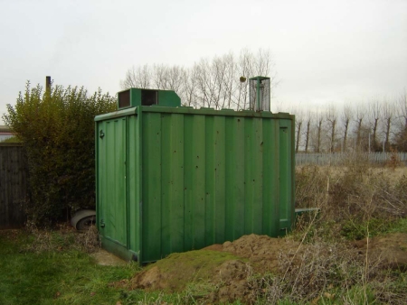
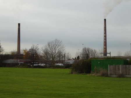
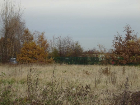
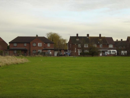
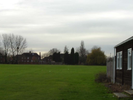
70m from nearest road, located in a playing field, next to bowling green. An industrial site, between 350m and 600m fom brickworks chimneys, to the west of the monitoring station
UK-AIR ID: UKA00512
EU Site ID: GB0917A
Altitude (metres): 38
Environment Type: Urban Industrial
Site Location
Environment Type: Urban Industrial
Site Address: Stewartby
Government Region: Eastern
Easting/Northing: 502146, 242554
Latitude/Longitude: 52.071944, -0.511111
The static map below shows where the monitoring site is located.
» View this location on Google Maps (new window)
Partners
Sorry, no information is currently available
Pollutants measured at this monitoring site
The pollutants measured at this monitoring site, grouped by network, are shown below.
Automatic Urban Monitoring Network
| Pollutant | Start Date | End Date | Inlet Height (m) | Hourly PM Measurement method |
|---|---|---|---|---|
| Sulphur dioxide | 26/11/2007 | 31/12/2008 | Not available |
Networks measured at this monitoring site
The listing below shows the networks that this monitoring site belongs to. You can search for sites within these networks by clicking on their name, or use the network information links to find out more about them.
| Network | Search | Further Details | Get Data |
|---|---|---|---|
| Automatic Urban and Rural Monitoring Network (AURN) | Automatic Urban and Rural Monitoring Network (AURN) | About network | Latest pollution summary Current Levels Pre-Formatted Data Files |