
Site Information for Manchester South(UKA00313)
Please Note: This monitoring site is closed.
Manchester South Information
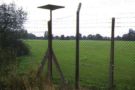
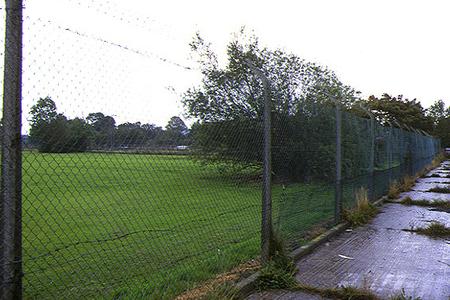
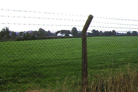
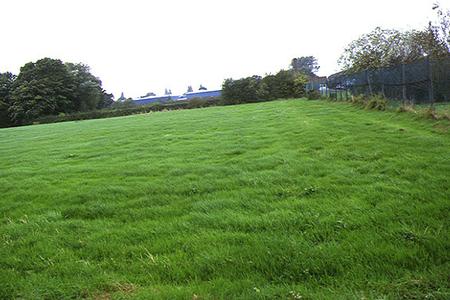
The monitoring station is within a self-contained, air-conditioned housing. Situated between the edges of a sports field and Cattle fields, the site is directly under the approach for Manchester Airport approximately 1.1 kilometres from the end of the runway. The station is approximately 85 metres from the nearest main road, the B5166. The M56 motorway is 2.5 kilometres west of the site. The surrounding area is generally open with residential areas and represents an urban background site.
UK-AIR ID: UKA00313
EU Site ID: GB0649A
Altitude (metres): 68
Environment Type: Suburban Industrial
Site Location
Environment Type: Suburban Industrial
Site Address: Manchester
Government Region: North West & Merseyside
Easting/Northing: 383910, 385823
Latitude/Longitude: 53.369026, -2.243280

The static map below shows where the monitoring site is located.
» View this location on Google Maps (new window)
Partners
The Partners who operate networks at this monitoring sites are shown in the table below. Clicking on the Partner name will open their website in a new window.
| Operator | Networks |
|---|---|
| Bureau Veritas | Automatic Urban Monitoring Network |
Pollutants measured at this monitoring site
The pollutants measured at this monitoring site, grouped by network, are shown below.
Automatic Urban Monitoring Network
| Pollutant | Start Date | End Date | Inlet Height (m) | Hourly PM Measurement method |
|---|---|---|---|---|
| Ozone | 06/12/1996 | 25/01/2016 | 3.0 | |
| Nitric oxide | 06/12/1996 | 25/01/2016 | 3.0 | |
| Nitrogen dioxide | 06/12/1996 | 25/01/2016 | 3.0 | |
| Nitrogen oxides as nitrogen dioxide | 06/12/1996 | 25/01/2016 | 3.0 | |
| Sulphur dioxide | 03/04/1997 | 30/09/2007 | Not available | |
| Modelled Wind Direction | 01/08/2010 | 25/01/2016 | 10 | |
| Modelled Wind Speed | 01/08/2010 | 25/01/2016 | 10 | |
| Modelled Temperature | 01/08/2010 | 25/01/2016 | 2 |
Networks measured at this monitoring site
The listing below shows the networks that this monitoring site belongs to. You can search for sites within these networks by clicking on their name, or use the network information links to find out more about them.
| Network | Search | Further Details | Get Data |
|---|---|---|---|
| Automatic Urban and Rural Monitoring Network (AURN) | Automatic Urban and Rural Monitoring Network (AURN) | About network | Latest pollution summary Current Levels Pre-Formatted Data Files |