
Site Information for Manchester Town Hall(UKA00157)
Please Note: This monitoring site is closed.
Manchester Town Hall Information
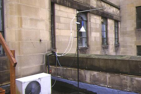
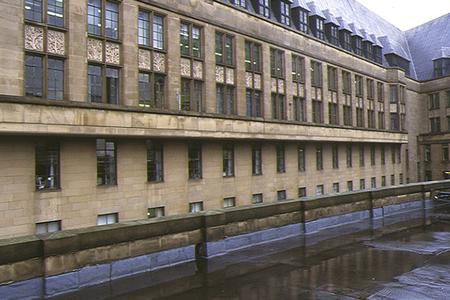
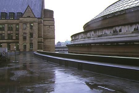
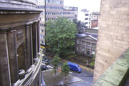
The monitoring station is within an existing town hall building at an elevated location adjacent to a busy city centre road. Traffic flow is typically around 11,000 vehicles per day. The manifold inlet is approximately 20 metres from the kerbside at a height of 25 metres. The surrounding area is enclosed by buildings and comprises city centre business and retail outlets.
UK-AIR ID: UKA00157
EU Site ID: GB0453A
Altitude (metres): 90
Environment Type: Urban Background
Site Location
Environment Type: Urban Background
Site Address: Manchester
Government Region: North West & Merseyside
Easting/Northing: 383851, 398003
Latitude/Longitude: 53.478500, -2.244800

The static map below shows where the monitoring site is located.
» View this location on Google Maps (new window)
Partners
Sorry, no information is currently available
Pollutants measured at this monitoring site
The pollutants measured at this monitoring site, grouped by network, are shown below.
Automatic Urban Monitoring Network
| Pollutant | Start Date | End Date | Inlet Height (m) | Hourly PM Measurement method |
|---|---|---|---|---|
| Nitric oxide | 22/01/1987 | 30/09/2007 | Not available | |
| Nitrogen dioxide | 22/01/1987 | 30/09/2007 | Not available | |
| Nitrogen oxides as nitrogen dioxide | 22/01/1987 | 30/09/2007 | Not available | |
| Carbon monoxide | 08/08/1991 | 30/09/2007 | Not available |
Networks measured at this monitoring site
The listing below shows the networks that this monitoring site belongs to. You can search for sites within these networks by clicking on their name, or use the network information links to find out more about them.
| Network | Search | Further Details | Get Data |
|---|---|---|---|
| Automatic Urban and Rural Monitoring Network (AURN) | Automatic Urban and Rural Monitoring Network (AURN) | About network | Latest pollution summary Current Levels Pre-Formatted Data Files |