
Site Information for Great Dun Fell(UKA00134)
Please Note: This monitoring site is closed.
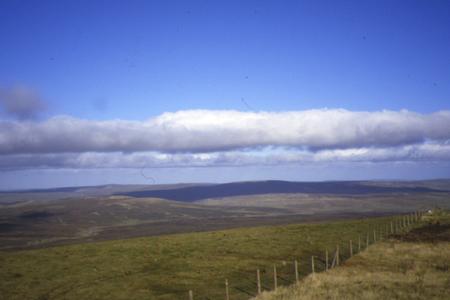
Great Dun Fell Information
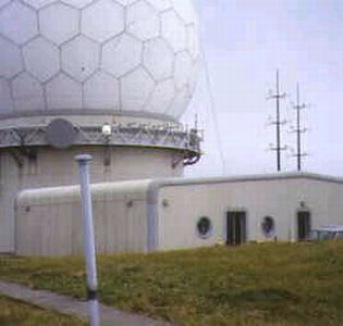
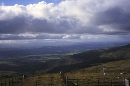
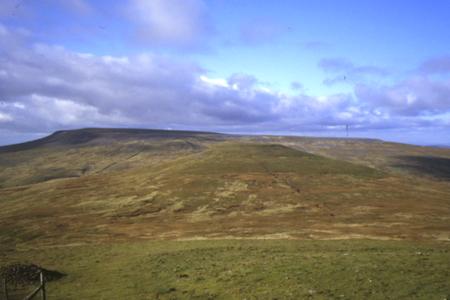
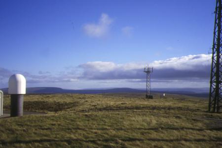
The monitoring station is within an existing building located approximately 6.5 kilometres from any other habitation. The manifold inlet is approximately 40 metres from the building. The closet road is approximately 12 kilometres to the south-west of the station. The surrounding area is open and remote.
UK-AIR ID: UKA00134
EU Site ID: GB0035R
Altitude (metres): 847
Environment Type: Rural Background
Site Location
Environment Type: Rural Background
Site Address: Great Dun Fell
Government Region: North West & Merseyside
Easting/Northing: 371034, 532225
Latitude/Longitude: 54.684233, -2.450799
The static map below shows where the monitoring site is located.
» View this location on Google Maps (new window)
Partners
The Partners who operate networks at this monitoring sites are shown in the table below. Clicking on the Partner name will open their website in a new window.
| Operator | Networks |
|---|---|
| Bureau Veritas | Automatic Rural Monitoring Network |
Pollutants measured at this monitoring site
The pollutants measured at this monitoring site, grouped by network, are shown below. Use the links below to quickly jump to a specific network.
Automatic Rural Monitoring Network
| Pollutant | Start Date | End Date | Inlet Height (m) | Hourly PM Measurement method |
|---|---|---|---|---|
| Ozone | 09/05/1986 | 18/10/2016 | 3.0 | |
| Modelled Wind Direction | 01/08/2010 | 18/10/2016 | 10 | |
| Modelled Wind Speed | 01/08/2010 | 18/10/2016 | 10 | |
| Modelled Temperature | 01/08/2010 | 18/10/2016 | 2 |
Weekly Rural SO2
| Pollutant | Start Date | End Date | Inlet Height (m) |
|---|---|---|---|
| Sulphur dioxide as S | 10/02/1992 | 10/10/1996 | Not available |
Networks measured at this monitoring site
The listing below shows the networks that this monitoring site belongs to. You can search for sites within these networks by clicking on their name, or use the network information links to find out more about them.
| Network | Search | Further Details | Get Data |
|---|---|---|---|
| Automatic Urban and Rural Monitoring Network (AURN) | Automatic Urban and Rural Monitoring Network (AURN) | About network | Latest pollution summary Current Levels Pre-Formatted Data Files |
| UKEAP: Precip-Net | UKEAP: Precip-Net | About network | Data Selector |