
Site Information for Coventry Memorial Park(UKA00427)
Please Note: This monitoring site is closed.
Coventry Memorial Park Information
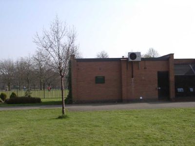
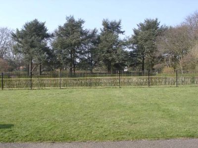
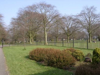
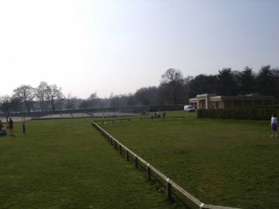
The monitoring station is located within an aviary building in Memorial Park in Earlsdon. The current location replaced Coventry Centre in February 2001. The closet road to the station is Kenilworth Road (A429), approximately 100 metres to the north. The surrounding area is open parkland with residential dwellings surrounding the park.
UK-AIR ID: UKA00427
EU Site ID: GB0739A
Altitude (metres): 95
Environment Type: Urban Background
Site Location
Environment Type: Urban Background
Site Address: Coventry
Government Region: West Midlands
Easting/Northing: 432786, 277484
Latitude/Longitude: 52.394399, -1.519612
The static map below shows where the monitoring site is located.
» View this location on Google Maps (new window)
Partners
The Partners who operate networks at this monitoring sites are shown in the table below. Clicking on the Partner name will open their website in a new window.
| Operator | Networks |
|---|---|
| Bureau Veritas | Automatic Urban Monitoring Network |
| Ricardo Energy & Environment | Non-Automatic Hydrocarbon Network |
Pollutants measured at this monitoring site
The pollutants measured at this monitoring site, grouped by network, are shown below. Use the links below to quickly jump to a specific network.
Automatic Urban Monitoring Network
| Pollutant | Start Date | End Date | Inlet Height (m) | Hourly PM Measurement method |
|---|---|---|---|---|
| Ozone | 26/02/2001 | 10/06/2014 | 4.0 | |
| Nitric oxide | 26/02/2001 | 10/06/2014 | 4.0 | |
| Nitrogen dioxide | 26/02/2001 | 10/06/2014 | 4.0 | |
| Nitrogen oxides as nitrogen dioxide | 26/02/2001 | 10/06/2014 | 4.0 | |
| Sulphur dioxide | 26/02/2001 | 30/09/2007 | Not available | |
| Carbon monoxide | 26/02/2001 | 30/09/2007 | Not available | |
| PM10 particulate matter (Hourly measured) | 26/02/2001 | 16/12/2008 | Not available | FDMS |
| Non-volatile PM10 (Hourly measured) | 07/03/2007 | 16/12/2008 | Not available | FDMS |
| Volatile PM10 (Hourly measured) | 07/03/2007 | 16/12/2008 | Not available | FDMS |
| PM2.5 particulate matter (Hourly measured) | 16/12/2008 | 10/06/2014 | 4.0 | FDMS |
| Non-volatile PM2.5 (Hourly measured) | 16/12/2008 | 10/06/2014 | Not available | FDMS |
| Volatile PM2.5 (Hourly measured) | 16/12/2008 | 10/06/2014 | Not available | FDMS |
| Modelled Wind Direction | 01/08/2010 | 10/06/2014 | 10 | |
| Modelled Wind Speed | 01/08/2010 | 10/06/2014 | 10 | |
| Modelled Temperature | 01/08/2010 | 10/06/2014 | 2 |
Non-Automatic Hydrocarbon Network
| Pollutant | Start Date | End Date | Inlet Height (m) |
|---|---|---|---|
| benzene | 02/07/2002 | 17/01/2013 | 4.0 |
Networks measured at this monitoring site
The listing below shows the networks that this monitoring site belongs to. You can search for sites within these networks by clicking on their name, or use the network information links to find out more about them.
| Network | Search | Further Details | Get Data |
|---|---|---|---|
| Automatic Urban and Rural Monitoring Network (AURN) | Automatic Urban and Rural Monitoring Network (AURN) | About network | Latest pollution summary Current Levels Pre-Formatted Data Files |
| Non-Automatic Hydrocarbon Network | Non-Automatic Hydrocarbon Network | About network | Network Information page |