
Site Information for Brighton Roadside(UKA00367)
Please Note: This monitoring site is closed.
Brighton Roadside Information
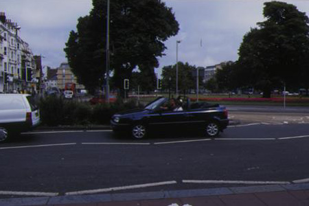
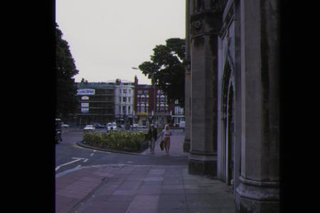
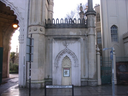
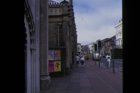
The monitoring station is within an existing building located close to the Royal Pavilion near the busy A23 road junction of Marlborough Place and Church street, Brighton. Traffic flow is approximately 23,000 vehicles per day. The site is located approximately 3 metres from the kerbside of the A23 which is generally free flowing. The manifold inlet is approximately 4 metres above ground level. The surrounding area is generally open and comprises public gardens with a few mature trees within 5-10 metres of the monitoring station.
UK-AIR ID: UKA00367
EU Site ID: GB0693A
Altitude (metres): 10
Environment Type: Urban Traffic
Site Location
Environment Type: Urban Traffic
Site Address: Brighton
Government Region: South East
Easting/Northing: 531297, 104320
Latitude/Longitude: 50.823540, -0.137281

The static map below shows where the monitoring site is located.
» View this location on Google Maps (new window)
Partners
Sorry, no information is currently available
Pollutants measured at this monitoring site
The pollutants measured at this monitoring site, grouped by network, are shown below.
Automatic Urban Monitoring Network
| Pollutant | Start Date | End Date | Inlet Height (m) | Hourly PM Measurement method |
|---|---|---|---|---|
| Nitric oxide | 10/02/1998 | 31/12/2010 | Not available | |
| Nitrogen dioxide | 10/02/1998 | 31/12/2010 | Not available | |
| Nitrogen oxides as nitrogen dioxide | 10/02/1998 | 31/12/2010 | Not available | |
| Carbon monoxide | 10/02/1998 | 30/09/2007 | Not available | |
| Modelled Wind Direction | 01/08/2010 | 31/12/2010 | 10 | |
| Modelled Wind Speed | 01/08/2010 | 31/12/2010 | 10 | |
| Modelled Temperature | 01/08/2010 | 31/12/2010 | 2 |
Networks measured at this monitoring site
The listing below shows the networks that this monitoring site belongs to. You can search for sites within these networks by clicking on their name, or use the network information links to find out more about them.
| Network | Search | Further Details | Get Data |
|---|---|---|---|
| Automatic Urban and Rural Monitoring Network (AURN) | Automatic Urban and Rural Monitoring Network (AURN) | About network | Latest pollution summary Current Levels Pre-Formatted Data Files |