
Site Information for Bristol Centre(UKA00221)
Please Note: This monitoring site is closed.
Bristol Centre Information
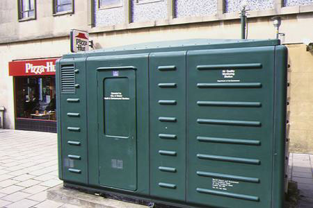
Pedestrianised walkway (Lower Castle Street to Bond Street) 43 m from major road.
UK-AIR ID: UKA00221
EU Site ID: GB0585A
Altitude (metres): 15
Environment Type: Urban Background
Site Location
Environment Type: Urban Background
Site Address: Bristol
Government Region: South West
Easting/Northing: 359408, 173296
Latitude/Longitude: 51.457180, -2.585622

The static map below shows where the monitoring site is located.
» View this location on Google Maps (new window)
Partners
Sorry, no information is currently available
Pollutants measured at this monitoring site
The pollutants measured at this monitoring site, grouped by network, are shown below.
Automatic Urban Monitoring Network
| Pollutant | Start Date | End Date | Inlet Height (m) | Hourly PM Measurement method |
|---|---|---|---|---|
| Ozone | 04/01/1993 | 15/09/2005 | Not available | |
| Nitric oxide | 04/01/1993 | 15/09/2005 | Not available | |
| Nitrogen dioxide | 04/01/1993 | 15/09/2005 | Not available | |
| Nitrogen oxides as nitrogen dioxide | 04/01/1993 | 15/09/2005 | Not available | |
| Sulphur dioxide | 04/01/1993 | 15/09/2005 | Not available | |
| Carbon monoxide | 04/01/1993 | 15/09/2005 | Not available | |
| PM10 particulate matter (Hourly measured) | 04/01/1993 | 15/09/2005 | Not available | TEOM |
Networks measured at this monitoring site
The listing below shows the networks that this monitoring site belongs to. You can search for sites within these networks by clicking on their name, or use the network information links to find out more about them.
| Network | Search | Further Details | Get Data |
|---|---|---|---|
| Automatic Urban and Rural Monitoring Network (AURN) | Automatic Urban and Rural Monitoring Network (AURN) | About network | Latest pollution summary Current Levels Pre-Formatted Data Files |