
Site Information for London A3 Roadside(UKA00338)
Please Note: This monitoring site is closed.
London A3 Roadside Information
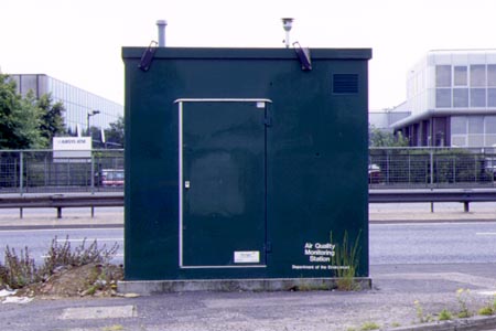
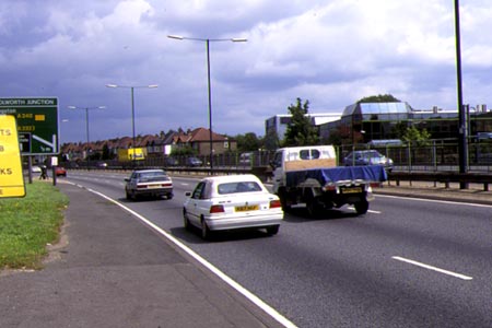
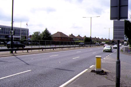
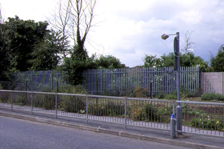
The monitoring station is within a self-contained, air-conditioned housing immediately adjacent to the A3 Kingston Bypass (6 lane carriageway). Traffic flow along the bypass is approximately 112,000 vehicles per day and is generally fast and free flowing with little congestion. The manifold inlet is approximately 2.5 metres from the kerbside at a height of approximately 3 metres. The surrounding area is generally open and comprises suburban residential dwellings and light industrial and commercial properties.
UK-AIR ID: UKA00338
EU Site ID: GB0659A
Altitude (metres): 32
Environment Type: Urban Traffic
Site Location
Environment Type: Urban Traffic
Site Address: London
Government Region: Greater London
Easting/Northing: 518991, 165209
Latitude/Longitude: 51.373480, -0.291853
The static map below shows where the monitoring site is located.
» View this location on Google Maps (new window)
Partners
Sorry, no information is currently available
Pollutants measured at this monitoring site
The pollutants measured at this monitoring site, grouped by network, are shown below.
Automatic Urban Monitoring Network
| Pollutant | Start Date | End Date | Inlet Height (m) | Hourly PM Measurement method |
|---|---|---|---|---|
| Nitric oxide | 20/03/1997 | 30/09/2007 | Not available | |
| Nitrogen dioxide | 20/03/1997 | 30/09/2007 | Not available | |
| Nitrogen oxides as nitrogen dioxide | 20/03/1997 | 30/09/2007 | Not available | |
| Carbon monoxide | 20/03/1997 | 30/09/2007 | Not available | |
| PM10 particulate matter (Hourly measured) | 20/03/1997 | 30/09/2007 | Not available | TEOM |
Networks measured at this monitoring site
The listing below shows the networks that this monitoring site belongs to. You can search for sites within these networks by clicking on their name, or use the network information links to find out more about them.
| Network | Search | Further Details | Get Data |
|---|---|---|---|
| Automatic Urban and Rural Monitoring Network (AURN) | Automatic Urban and Rural Monitoring Network (AURN) | About network | Latest pollution summary Current Levels Pre-Formatted Data Files |