
Site Information for West London(UKA00155)
Please Note: This monitoring site is closed.
West London Information
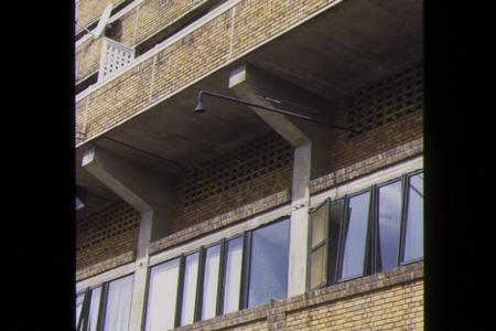
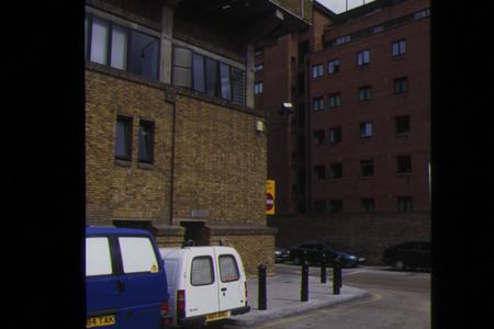
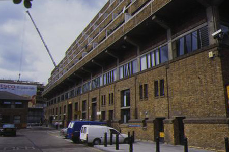
The monitoring station is within a self-contained, housing located within the services duct of a local council depot. The nearest road is approximately 50 metres from the monitoring station and comprises a relatively busy single carriageway forming a major north-south route within the area. The manifold inlet is approximately 30 metres above ground level. The surrounding area is built-up and comprises urban street canyons.
UK-AIR ID: UKA00155
EU Site ID: GB0420A
Altitude (metres): 20
Environment Type: Urban Background
Site Location
Environment Type: Urban Background
Site Address: London
Government Region: Greater London
Easting/Northing: 525031, 178741
Latitude/Longitude: 51.493800, -0.200361
The static map below shows where the monitoring site is located.
» View this location on Google Maps (new window)
Partners
Sorry, no information is currently available
Pollutants measured at this monitoring site
The pollutants measured at this monitoring site, grouped by network, are shown below.
Automatic Urban Monitoring Network
| Pollutant | Start Date | End Date | Inlet Height (m) | Hourly PM Measurement method |
|---|---|---|---|---|
| Nitric oxide | 01/01/1987 | 30/09/2007 | Not available | |
| Nitrogen dioxide | 01/01/1987 | 30/09/2007 | Not available | |
| Nitrogen oxides as nitrogen dioxide | 01/01/1987 | 30/09/2007 | Not available | |
| Carbon monoxide | 14/08/1989 | 30/09/2007 | Not available |
Networks measured at this monitoring site
The listing below shows the networks that this monitoring site belongs to. You can search for sites within these networks by clicking on their name, or use the network information links to find out more about them.
| Network | Search | Further Details | Get Data |
|---|---|---|---|
| Automatic Urban and Rural Monitoring Network (AURN) | Automatic Urban and Rural Monitoring Network (AURN) | About network | Latest pollution summary Current Levels Pre-Formatted Data Files |