
Site Information for Walsall Willenhall(UKA00344)
Please Note: This monitoring site is closed.
Site Observations
05/02/10
There has been a major fire at site and the site is no longer collecting data
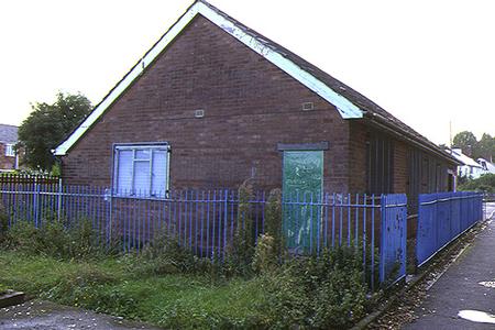
Walsall Willenhall Information
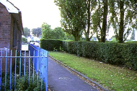
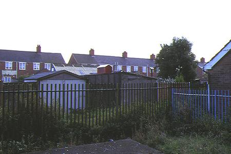
The monitoring station is within a self-contained, air conditioned housing located approximately 65 metres from the nearest trafficked road. The site is approximately 700 metres from the busy M6 motorway. The manifold inlet is approximately 6 metres above ground level. The surrounding area is generally open.
UK-AIR ID: UKA00344
EU Site ID: GB0674A
Altitude (metres): 148
Environment Type: Urban Background
Site Location
Environment Type: Urban Background
Site Address: Walsall
Government Region: West Midlands
Easting/Northing: 397853, 301159
Latitude/Longitude: 52.608210, -2.033144

The static map below shows where the monitoring site is located.
» View this location on Google Maps (new window)
Partners
Sorry, no information is currently available
Pollutants measured at this monitoring site
The pollutants measured at this monitoring site, grouped by network, are shown below.
Automatic Urban Monitoring Network
| Pollutant | Start Date | End Date | Inlet Height (m) | Hourly PM Measurement method |
|---|---|---|---|---|
| Nitric oxide | 29/04/1997 | 03/02/2010 | Not available | |
| Nitrogen dioxide | 29/04/1997 | 03/02/2010 | Not available | |
| Nitrogen oxides as nitrogen dioxide | 29/04/1997 | 03/02/2010 | Not available |
Networks measured at this monitoring site
The listing below shows the networks that this monitoring site belongs to. You can search for sites within these networks by clicking on their name, or use the network information links to find out more about them.
| Network | Search | Further Details | Get Data |
|---|---|---|---|
| Automatic Urban and Rural Monitoring Network (AURN) | Automatic Urban and Rural Monitoring Network (AURN) | About network | Latest pollution summary Current Levels Pre-Formatted Data Files |