
Site Information for Sunderland(UKA00219)
Please Note: This monitoring site is closed.
Sunderland Information
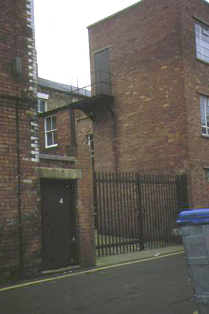
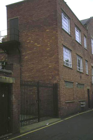
The monitoring station is located within existing facilities near John Street. The manifold inlet is approximately 17 metres from kerbside and 3 metres high. The location is located within the city centre road network with restricted access. The surrounding area is generally built-up street canyons and comprises business and retail outlets.
UK-AIR ID: UKA00219
EU Site ID: GB0582A
Altitude (metres): 33
Environment Type: Urban Background
Site Location
Environment Type: Urban Background
Site Address: Sunderland
Government Region: North East
Easting/Northing: 439847, 556997
Latitude/Longitude: 54.906106, -1.380081

The static map below shows where the monitoring site is located.
» View this location on Google Maps (new window)
Partners
Sorry, no information is currently available
Pollutants measured at this monitoring site
The pollutants measured at this monitoring site, grouped by network, are shown below.
Automatic Urban Monitoring Network
| Pollutant | Start Date | End Date | Inlet Height (m) | Hourly PM Measurement method |
|---|---|---|---|---|
| Sulphur dioxide | 06/10/1992 | 30/09/2007 | Not available |
Networks measured at this monitoring site
The listing below shows the networks that this monitoring site belongs to. You can search for sites within these networks by clicking on their name, or use the network information links to find out more about them.
| Network | Search | Further Details | Get Data |
|---|---|---|---|
| Automatic Urban and Rural Monitoring Network (AURN) | Automatic Urban and Rural Monitoring Network (AURN) | About network | Latest pollution summary Current Levels Pre-Formatted Data Files |