
Site Information for Rotherham Centre(UKA00349)
Please Note: This monitoring site is closed.
Rotherham Centre Information
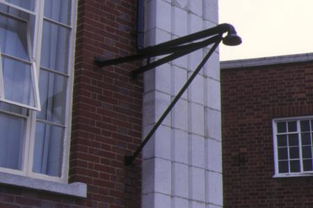
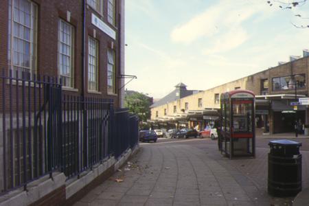
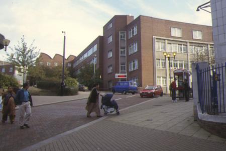
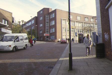
The air monitoring station is located in a an area comprising of retail, educational and business premises. Its situated within the second floor of an annex of an existing building located near the junction of Howard Street and Eastwood Lane in the town centre. Traffic flow on the nearest road some 30 metres away is light, approximately 1,000 vehicles per day. The manifold inlet is located approximately 1 metre from the building facade and approximately 2.5 metres above ground level. The surrounding area is generally enclosed with street canyons and comprises urban retail and business
UK-AIR ID: UKA00349
EU Site ID: GB0677A
Altitude (metres): 35
Environment Type: Urban Background
Site Location
Environment Type: Urban Background
Site Address: Rotherham
Government Region: Yorkshire & Humberside
Easting/Northing: 442988, 392980
Latitude/Longitude: 53.431860, -1.354444

The static map below shows where the monitoring site is located.
» View this location on Google Maps (new window)
Partners
Sorry, no information is currently available
Pollutants measured at this monitoring site
The pollutants measured at this monitoring site, grouped by network, are shown below.
Automatic Urban Monitoring Network
| Pollutant | Start Date | End Date | Inlet Height (m) | Hourly PM Measurement method |
|---|---|---|---|---|
| Ozone | 20/06/1997 | 30/09/2007 | Not available | |
| Nitric oxide | 20/06/1997 | 30/09/2007 | Not available | |
| Nitrogen dioxide | 20/06/1997 | 30/09/2007 | Not available | |
| Nitrogen oxides as nitrogen dioxide | 20/06/1997 | 30/09/2007 | Not available | |
| Sulphur dioxide | 20/06/1997 | 30/09/2007 | Not available |
Networks measured at this monitoring site
The listing below shows the networks that this monitoring site belongs to. You can search for sites within these networks by clicking on their name, or use the network information links to find out more about them.
| Network | Search | Further Details | Get Data |
|---|---|---|---|
| Automatic Urban and Rural Monitoring Network (AURN) | Automatic Urban and Rural Monitoring Network (AURN) | About network | Latest pollution summary Current Levels Pre-Formatted Data Files |