
Site Information for Hove Roadside(UKA00359)
Please Note: This monitoring site is closed.
Hove Roadside Information
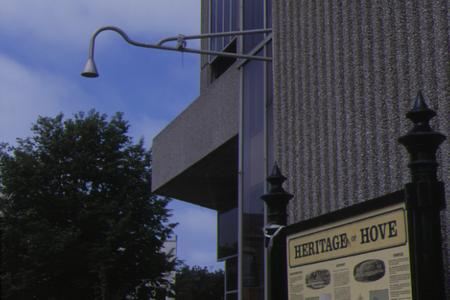
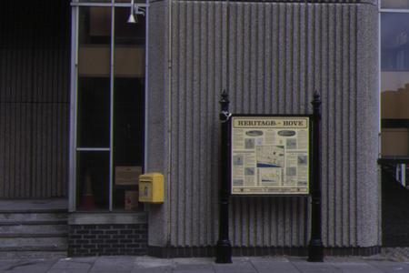
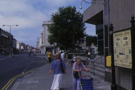
The monitoring station is within an existing building in the base of the clocktower located near a busy urban road (average traffic flow 17,100 vehicles per day). The manifold inlet is located approximately 4 metres above ground level and approximately 4 metres from the kerbside. The surrounding area is generally open and comprises retail outlets and business premises.
UK-AIR ID: UKA00359
EU Site ID: GB0686A
Altitude (metres): 13
Environment Type: Urban Traffic
Site Location
Environment Type: Urban Traffic
Site Address: Hove
Government Region: South East
Easting/Northing: 528960, 104733
Latitude/Longitude: 50.827780, -0.170294


The static map below shows where the monitoring site is located.
» View this location on Google Maps (new window)
Partners
The Partners who operate networks at this monitoring sites are shown in the table below. Clicking on the Partner name will open their website in a new window.
| Operator | Networks |
|---|---|
| Ricardo Energy & Environment | Non-Automatic Hydrocarbon Network |
Pollutants measured at this monitoring site
The pollutants measured at this monitoring site, grouped by network, are shown below. Use the links below to quickly jump to a specific network.
Automatic Urban Monitoring Network
| Pollutant | Start Date | End Date | Inlet Height (m) | Hourly PM Measurement method |
|---|---|---|---|---|
| Nitric oxide | 16/09/1997 | 30/09/2007 | Not available | |
| Nitrogen dioxide | 16/09/1997 | 30/09/2007 | Not available | |
| Nitrogen oxides as nitrogen dioxide | 16/09/1997 | 30/09/2007 | Not available | |
| Sulphur dioxide | 03/01/2001 | 30/09/2007 | Not available | |
| Carbon monoxide | 15/10/1997 | 30/09/2007 | Not available |
Non-Automatic Hydrocarbon Network
| Pollutant | Start Date | End Date | Inlet Height (m) |
|---|---|---|---|
| benzene | 13/03/2002 | 20/11/2007 | Not available |
Networks measured at this monitoring site
The listing below shows the networks that this monitoring site belongs to. You can search for sites within these networks by clicking on their name, or use the network information links to find out more about them.
| Network | Search | Further Details | Get Data |
|---|---|---|---|
| Automatic Urban and Rural Monitoring Network (AURN) | Automatic Urban and Rural Monitoring Network (AURN) | About network | Latest pollution summary Current Levels Pre-Formatted Data Files |
| Non-Automatic Hydrocarbon Network | Non-Automatic Hydrocarbon Network | About network | Network Information page |