
Site Information for Dumfries(UKA00428)
Dumfries Information
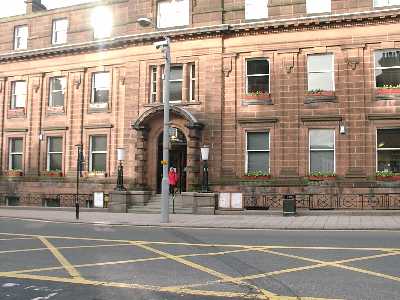
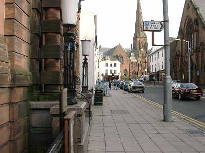
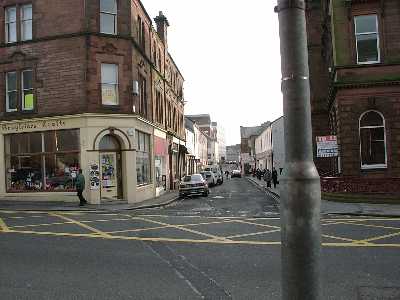
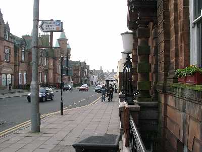
The monitoring station is located in the basement of the council offices, with the sample manifold on an outside mounting near to the main entrance. The sample inlet is 5 metres from Buccleuch Street (A780), a busy ring road round the centre of town 50 metres west of traffic lights. Buccleuch Street contains tall buildings on either side of road, generating a street canyon effect. The site is adjacent to a bus stop.
UK-AIR ID: UKA00428
EU Site ID: GB0740A
Altitude (metres): 10
Environment Type: Urban Traffic
Site Location
Environment Type: Urban Traffic
Site Address: Dumfries
Government Region: Scottish Borders
Easting/Northing: 297020, 576254
Latitude/Longitude: 55.070033, -3.614233

The static map below shows where the monitoring site is located.
» View this location on Google Maps (new window)
» View this monitoring site on the interactive monitoring networks map
Partners
The Partners who operate networks at this monitoring sites are shown in the table below. Clicking on the Partner name will open their website in a new window.
| Operator | Networks |
|---|---|
| Bureau Veritas | Automatic Urban Monitoring Network |
Pollutants measured at this monitoring site
The pollutants measured at this monitoring site, grouped by network, are shown below.
Automatic Urban Monitoring Network
| Pollutant | Start Date | End Date | Inlet Height (m) | Hourly PM Measurement method |
|---|---|---|---|---|
| Nitric oxide | 01/03/2001 | - | 2.0 | |
| Nitrogen dioxide | 01/03/2001 | - | 2.0 | |
| Nitrogen oxides as nitrogen dioxide | 01/03/2001 | - | 2.0 | |
| Carbon monoxide | 17/07/2001 | 30/09/2007 | 2 | |
| PM10 particulate matter (Daily measured) | 17/08/2001 | 27/03/2008 | 2 | PARTISOL |
| Daily measured PM10 (uncorrected) | 17/08/2001 | 27/03/2008 | 2 | |
| Modelled Wind Direction | 01/08/2010 | - | 10 | |
| Modelled Wind Speed | 01/08/2010 | - | 10 | |
| Modelled Temperature | 01/08/2010 | - | 2 |
Networks measured at this monitoring site
The listing below shows the networks that this monitoring site belongs to. You can search for sites within these networks by clicking on their name, or use the network information links to find out more about them.
| Network | Search | Further Details | Get Data |
|---|---|---|---|
| Automatic Urban and Rural Monitoring Network (AURN) | Automatic Urban and Rural Monitoring Network (AURN) | About network | Latest pollution summary Current Levels Pre-Formatted Data Files |