
Site Information for Inverness(UKA00587)
Inverness Information
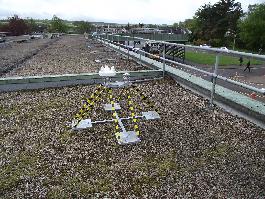
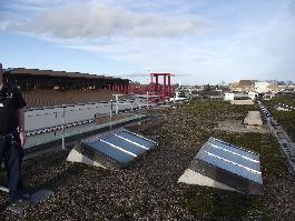
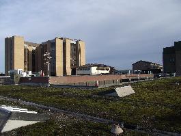
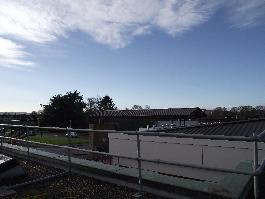
Monitoring site on the roof of the Raigmore Hospital in Inverness.
UK-AIR ID: UKA00587
EU Site ID:
Altitude (metres): 34
Environment Type: Urban Background
Site Location
Environment Type: Urban Background
Site Address: Raigmore Hospital Inverness
Government Region: Highland
Easting/Northing: 268533, 844699
Latitude/Longitude: 57.473432, -4.193860
The static map below shows where the monitoring site is located.
» View this location on Google Maps (new window)
» View this monitoring site on the interactive monitoring networks map
Partners
The Partners who operate networks at this monitoring sites are shown in the table below. Clicking on the Partner name will open their website in a new window.
| Operator | Networks |
|---|---|
| HSA | Ozone-UV |
Pollutants measured at this monitoring site
The pollutants measured at this monitoring site, grouped by network, are shown below.
Ozone-UV
| Pollutant | Start Date | End Date | Inlet Height (m) |
|---|---|---|---|
| Total Ultraviolet radiation | 22/05/2013 | - | Not available |
Networks measured at this monitoring site
The listing below shows the networks that this monitoring site belongs to. You can search for sites within these networks by clicking on their name, or use the network information links to find out more about them.
| Network | Search | Further Details | Get Data |
|---|---|---|---|
| Ozone / UV | Not available | About network | Stratospheric Ozone Data UV Radiation Data |