
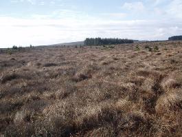
Site Information for May Moss(UKA00638)
May Moss Information
Sorry, no information about this site is currently available.
UK-AIR ID: UKA00638
EU Site ID: GB1079R
Altitude (metres): 254
Environment Type: Rural Background
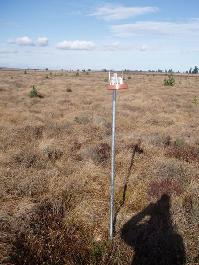
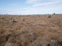
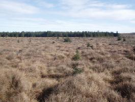
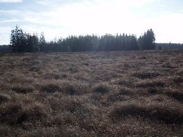
Site Location
Environment Type: Rural Background
Site Address: Not available
Government Region: Yorkshire & Humberside
Easting/Northing: 487977, 495861
Latitude/Longitude: 54.350708, -0.647959
The static map below shows where the monitoring site is located.
» View this location on Google Maps (new window)
» View this monitoring site on the interactive monitoring networks map
Partners
The Partners who operate networks at this monitoring sites are shown in the table below. Clicking on the Partner name will open their website in a new window.
| Operator | Networks |
|---|---|
| Centre for Ecology & Hydrology | National Ammonia Monitoring Network |
Pollutants measured at this monitoring site
The pollutants measured at this monitoring site, grouped by network, are shown below.
National Ammonia Monitoring Network
| Pollutant | Start Date | End Date | Inlet Height (m) |
|---|---|---|---|
| gaseous ammonia (passive) | 01/11/2016 | - | 1.5 |
Networks measured at this monitoring site
The listing below shows the networks that this monitoring site belongs to. You can search for sites within these networks by clicking on their name, or use the network information links to find out more about them.
| Network | Search | Further Details | Get Data |
|---|---|---|---|
| UKEAP: National Ammonia Monitoring Network | UKEAP: National Ammonia Monitoring Network | About network | Data Selector |