
Site Information for Cambridge Roadside(UKA00396)
Cambridge Roadside Information
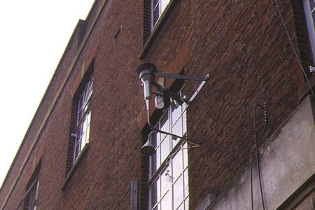
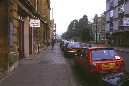
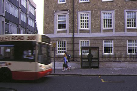
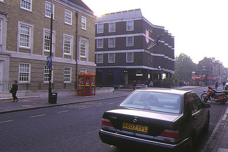
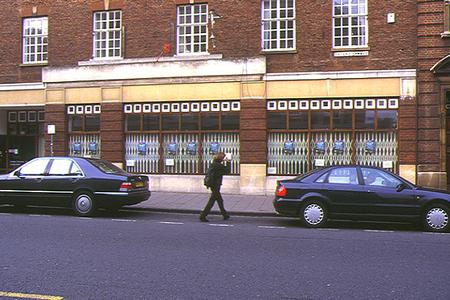
The monitoring station is contained within the first floor offices of the City Council on Regent Street. The road is a busy urban street which leads traffic directly to the city centre shopping area. The monitoring station is located approximately 2.5 metres from the kerb.
UK-AIR ID: UKA00396
EU Site ID: GB0726A
Altitude (metres): 19
Environment Type: Urban Traffic
Site Location
Environment Type: Urban Traffic
Site Address: Cambridge
Government Region: Eastern
Easting/Northing: 545279, 258142
Latitude/Longitude: 52.202370, 0.124456
The static map below shows where the monitoring site is located.
» View this location on Google Maps (new window)
» View this monitoring site on the interactive monitoring networks map
Partners
The Partners who operate networks at this monitoring sites are shown in the table below. Clicking on the Partner name will open their website in a new window.
| Operator | Networks |
|---|---|
| Bureau Veritas | Automatic Urban Monitoring Network |
| Ricardo Energy & Environment | Non-Automatic Hydrocarbon Network |
Pollutants measured at this monitoring site
The pollutants measured at this monitoring site, grouped by network, are shown below. Use the links below to quickly jump to a specific network.
Automatic Urban Monitoring Network
| Pollutant | Start Date | End Date | Inlet Height (m) | Hourly PM Measurement method |
|---|---|---|---|---|
| Nitric oxide | 26/06/1999 | - | 4.0 | |
| Nitrogen dioxide | 26/06/1999 | - | 4.0 | |
| Nitrogen oxides as nitrogen dioxide | 26/06/1999 | - | 4.0 | |
| Modelled Wind Direction | 01/08/2010 | - | 10.0 | |
| Modelled Wind Speed | 01/08/2010 | - | 10.0 | |
| Modelled Temperature | 01/08/2010 | - | 2.0 |
Non-Automatic Hydrocarbon Network
| Pollutant | Start Date | End Date | Inlet Height (m) |
|---|---|---|---|
| benzene | 03/01/2008 | - | 4.0 |
Networks measured at this monitoring site
The listing below shows the networks that this monitoring site belongs to. You can search for sites within these networks by clicking on their name, or use the network information links to find out more about them.
| Network | Search | Further Details | Get Data |
|---|---|---|---|
| Automatic Urban and Rural Monitoring Network (AURN) | Automatic Urban and Rural Monitoring Network (AURN) | About network | Latest pollution summary Current Levels Pre-Formatted Data Files |
| Non-Automatic Hydrocarbon Network | Non-Automatic Hydrocarbon Network | About network | Network Information page |