Site Information for Somerton(UKA00252)
Please Note: This monitoring site is closed.
Somerton Information
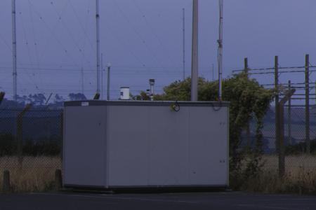
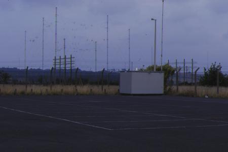
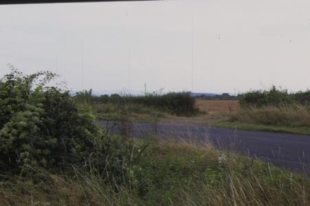
Located at Somerton Radio Station at the summit of a hill. In open pasture with minor roads 2km south of Somerton.
UK-AIR ID: UKA00252
EU Site ID: GB0044R
Altitude (metres): 55
Environment Type: Rural Background
Site Location
Environment Type: Rural Background
Site Address: Somerton
Government Region: South West
Easting/Northing: 348542, 126520
Latitude/Longitude: 51.035720, -2.735253

The static map below shows where the monitoring site is located.
» View this location on Google Maps (new window)
Partners
Sorry, no information is currently available
Pollutants measured at this monitoring site
The pollutants measured at this monitoring site, grouped by network, are shown below.
Automatic Rural Monitoring Network
| Pollutant | Start Date | End Date | Inlet Height (m) | Hourly PM Measurement method |
|---|---|---|---|---|
| Ozone | 26/01/1996 | 05/03/2008 | Not available | |
| Nitric oxide | 28/04/2003 | 05/03/2008 | Not available | |
| Nitrogen dioxide | 28/04/2003 | 05/03/2008 | Not available | |
| Nitrogen oxides as nitrogen dioxide | 28/04/2003 | 05/03/2008 | Not available |
Networks measured at this monitoring site
The listing below shows the networks that this monitoring site belongs to. You can search for sites within these networks by clicking on their name, or use the network information links to find out more about them.
| Network | Search | Further Details | Get Data |
|---|---|---|---|
| Automatic Urban and Rural Monitoring Network (AURN) | Automatic Urban and Rural Monitoring Network (AURN) | About network | Latest pollution summary Current Levels Pre-Formatted Data Files |