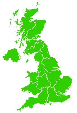
Measurement summary based on data provided by the Environment Agency
Latest recorded level 09/02/2019.

1
2
3
4
5
6
7
8
9
10
Low
Moderate
High
Very High
Tap a coloured area on the map to view information for a specific region.
Click a coloured area on the map to view information for a specific region. The results are based on the maximum air quality index measured across all stations in each region.
For the current day the map is based on the most recent measurements. For historical days it displays the daily maximum air quality index.
Return to the UK-AIR latest summary
Daily maximum levels for Tyneside
Data shows the daily summary for this region on 09th February 2019
Tyneside is in the North East region
In towns and cities near busier roads
Pollution levels were:
Low (Index 2)
| 1 | 2 | 3 | 4 | 5 | 6 | 7 | 8 | 9 | 10 |
Elsewhere in towns and cities
Pollution levels were:
Low (Index 3)
| 1 | 2 | 3 | 4 | 5 | 6 | 7 | 8 | 9 | 10 |
Regions
You can quickly jump to a specific region by choosing from the dropdown list below.

