Site Information for Cannock Watling Street(UKA00597)
Please Note: This monitoring site is closed.
Cannock Watling Street Information
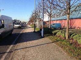
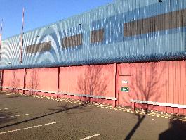
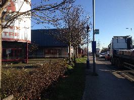
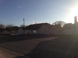
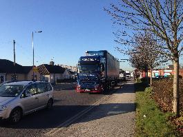
The monitoring station is within a self-contained air conditioned mobile unit along the roadside of the A5 - Watling Street, in Bridgtown centre. The surrounding area comprises residential houses, outlets and some small industry, in an urban environment. The M6 motorway lies 380 m south.
UK-AIR ID: UKA00597
EU Site ID: GB1039A
Altitude (metres): 125
Environment Type: Urban Traffic
Site Location
Environment Type: Urban Traffic
Site Address: A5 Watling Street Bridgtown Cannock WS11 0XL
Government Region: West Midlands
Easting/Northing: 398009, 308563
Latitude/Longitude: 52.674767, -2.030882
The static map below shows where the monitoring site is located.
» View this location on Google Maps (new window)
Partners
Sorry, no information is currently available
Pollutants measured at this monitoring site
The pollutants measured at this monitoring site, grouped by network, are shown below.
Networks measured at this monitoring site
The listing below shows the networks that this monitoring site belongs to. You can search for sites within these networks by clicking on their name, or use the network information links to find out more about them.
The networks list for this monitoring site is not available