Figure 9 London A406: Locations of road links with modelled annual mean NO2 concentrations >21 ppb in 2005 (using the national scale model) and building facades within 10 m of the kerb, showing residential postcodes on these road links
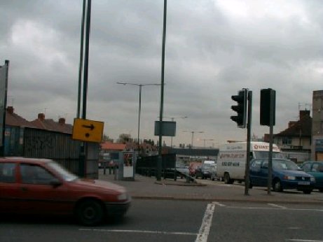
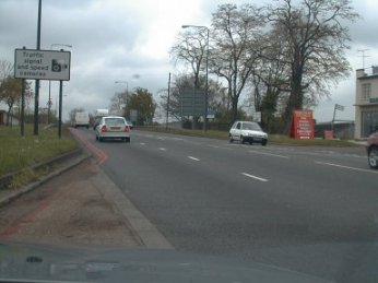
Figure 10 North Circular Road in London (link 7055)
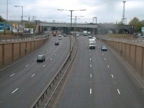
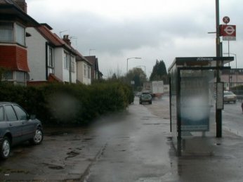
Figure 11 North Circular Road in London (link 17019)
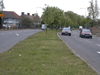
Figure 12 Gunnersbury Avenue in London (link 37112)
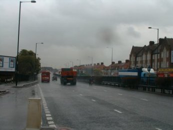
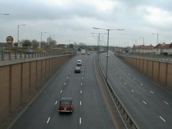
Figure 13 North Circular Road in London (link 37113)
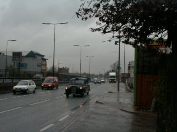
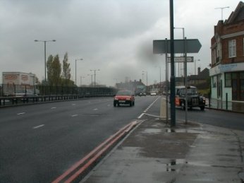
Figure 14 North Circular Road in London (link 57056)
 Back
Back