Figure 1 Birmingham: Locations of road links with modelled annual mean NO2 concentrations >21 ppb in 2005 (using the national scale model) and building facades within 10 m of the kerb, showing residential postcodes on these road links
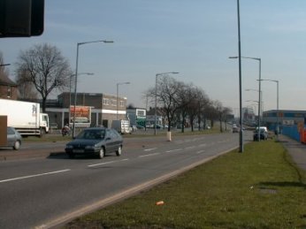
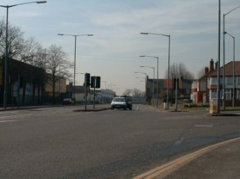
Figure 2 Kingsbury Road in Birmingham (link 6390)
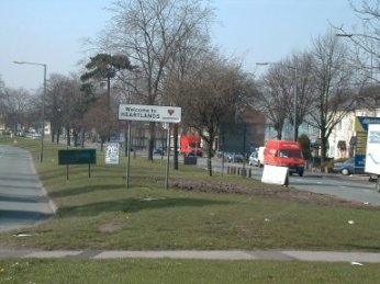
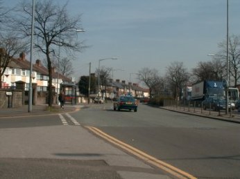
Figure 3 Tyburn Road in Birmingham (link 16365)
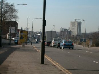
Figure 4 Tyburn Road in Birmingham (link 56399)
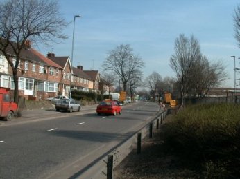
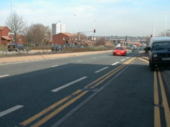
Figure 5 Lichfield Road in Birmingham (link 46398)
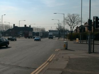
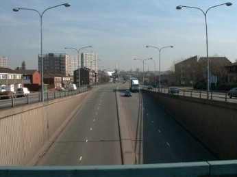
Figure 6 Belgrave Middleway in Birmingham (link 57194)
 Back
Back